


- DEQ UAS has catalogued a wealth of footage for documentation, 3D mapping, tracking and volumetric calculations.
- The company plans to invest to enable air sampling capabilities in tandem with the agency’s Mobile Air Monitoring Lab, and Optical Gas Imaging cameras.
- Rice University researchers are currently adapting new drone technologies for industrial applications as part of a $1.5 million National Science Foundation grant.
- The expense of the equipment is the biggest hurdle, as a single air sampler costs between $10,000 and $15,000, compounded with the cost of a larger UAS device to carry it.
- The agency’s suite of GIS mapping software by Esri that can use drone images to extrapolate and create maps with as many as 1,000 pictures during any given mission.
According to Bussiness Report, Jason Smith has flown more than 60 missions with a single drone since the 2017 creation of Louisiana Department of Environmental Quality’s Unmanned Aircraft Systems program. Along the way, he has cataloged a wealth of footage for documentation, 3D mapping, tracking and volumetric calculations.
Drones for real-time tasks
Smith, DEQ’s UAS manager, says the program is limited only by the agency’s ability to invest in new hardware and software. If all goes well in the next one to two years, drones could be taking air samples in real time, detecting leaks, tracking oil spills and responding to emergencies, among other tasks.
A self-taught drone pilot, Smith is one of five at DEQ currently holding an FAA pilot’s license. “I began flying a little $20 toy in my garage. I would fly around with the door closed and hover it in front of a box fan … and try not to destroy anything.” He worked his way up from there, gradually increasing the size of his investment as his confidence grew.
Advanced UAS flights
Other DEQ pilots are located in the agency’s various regional offices. Smith conducts most of the advanced UAS flights for DEQ, while the regional pilots primarily provide documentation for emergency response activities. Mike Algero, surveillance division administrator, and Jeff Dauzat, emergency and radiological services division administrator, are also involved in the program. “If there’s a train derailment in Lake Charles, our Lake Charles guy can get there quickly,” Smith says. “He won’t have the advanced equipment, but he’ll have a small UAS for visible light photos and video.”
DEQ has several long-term goals for its UAS fleet, although the current hardware falls a bit short. Smith currently flies a DJI Matrice M210-RTK Industrial Drone with enhanced GPS guidance systems. The next big investments would likely enable air sampling capabilities, to be performed in tandem with the agency’s Mobile Air Monitoring Lab, and Optical Gas Imaging cameras. Incorporating UAS into the process would enable more conclusive air sampling as drone pilots could perform live monitoring and remote sample collection.
Huge equipment costs
The expense of the equipment is the biggest hurdle, as a single air sampler costs between $10,000 and $15,000, compounded with the cost of a larger UAS device to carry it. As Smith’s current DJI drone isn’t equipped to carry a payload, future investments would also involve additional aircraft. “While it’d be great to buy one drone with interchangeable capabilities, that’s just not feasible. They recommend that you dedicate an aircraft to a specific task.” A bigger fleet would also provide necessary redundancy should there be a mechanical failure.
Academics to the rescue
There are some developing technologies in the research realm that could further extend DEQ’s reach. Rice University researchers are currently adapting new drone technologies for industrial applications as part of a $1.5 million National Science Foundation grant. Although not new to the market, photo ionization sensors for detecting VOCs are being made smaller and easier to incorporate into UAS craft.
“They’re also applying laser technology for detecting plumes, as well as incorporating multiple drones (aka “swarm technology”),” says George Rey, president of the Association for Unmanned Vehicle Systems International’s Louisiana Pelican Chapter. “While you might detect a plume by a single aircraft, it’s hard to define the plume size, scope and direction … but if you have multiple drones that are constantly communicating you can start to define the plume size and, more importantly, the directivity.”
Even more promising, Rice researchers plan to incorporate Artificial Intelligence so drones can actively learn during a mission. “The idea is that they would work together and figure out the problem. They can then extrapolate data to predict dispersal patterns, concentration levels, duration and direction.”
Safe drone operations
In the world of oil and gas, Balaji Ramachandran, associate professor of geomatics at Nicholls State University, has worked with the FAA and Shell to develop procedures for the safe operation of drones around offshore platforms. Ultimately, this could open up a new world for the industry, one day allowing the delivery of goods and materials to rigs by drone.
Ramachandran’s work with Shell falls in line with the company’s commitment to automate much of its offshore operations by 2025, thereby minimizing the impact to human safety. In particular, drones have the potential to significantly reduce safety hazards during flare inspections.
Meanwhile, industry itself is making strides in the UAS world—primarily for routine inspections. Stephanie Cargile, ExxonMobil public and government affairs manager, says the Baton Rouge complex uses drones with remote visual HD cameras to assist with long-term inspection and maintenance plans. “They enable us to conduct more detailed inspections of certain equipment prior to maintenance work,” Cargile says in a written statement. “In this way, we are better able to plan for maintenance before taking equipment out of service.”
Now and in the future
To date, DEQ’s most impressive investments have been in its software. The agency uses a suite of GIS mapping software by Esri that can use drone images to extrapolate and create maps. A drone can take as many as 1,000 pictures during any given mission, from which the software creates orthomosaic maps that are shared with other divisions within DEQ. Put simply, an orthomosaic map is a detailed, accurate photo representation of an area, created out of many photos that are stitched together and geometrically corrected to be as accurate as a map.
Additionally, they can use 3D imagery for volumetric calculations. “At a waste tire facility, for example, I can image those piles and engineers can determine the volume of actual material using various formulas,” Smith says.
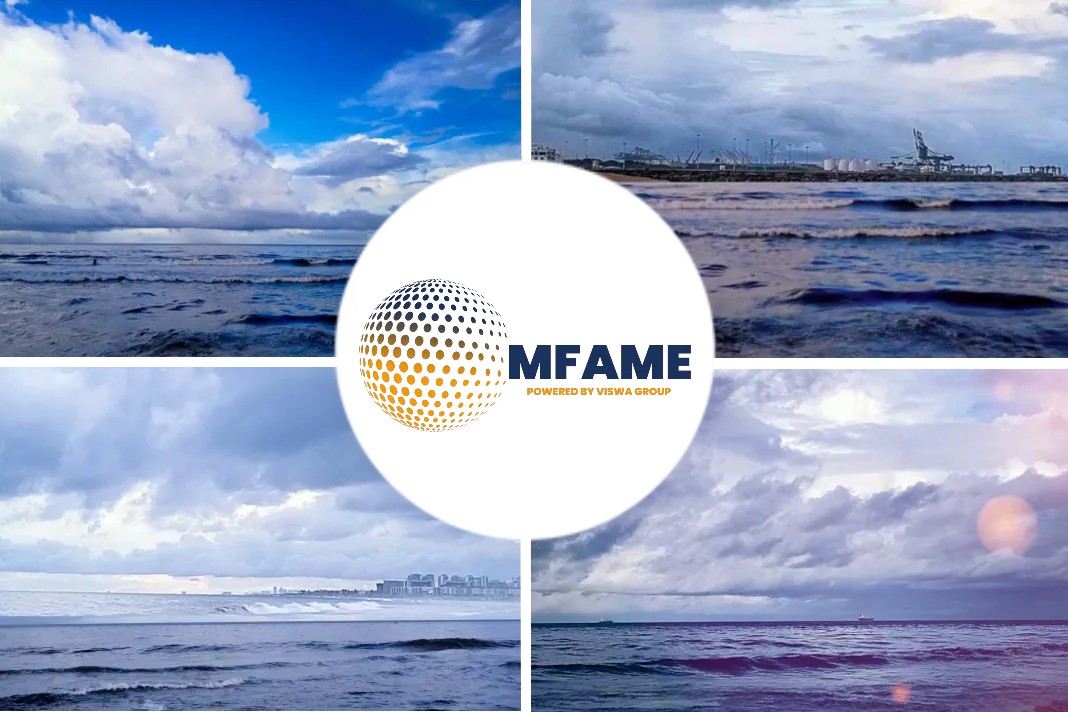
DEQ’s UAS pilots have also assisted in emergency response activities and by documenting oil spills, which are difficult to see from the ground. Additionally, thermal cameras can be used for monitoring fires or “hot spots” inside landfills. There are other functionalities as well. When a cargo vessel crashed into a pier at the Port of New Orleans during last year’s French Quarter Fest, DEQ used its drone to observe and document the resulting oil spill.
Government-imposed obstacles
Still, there are some government-imposed obstacles that need to be overcome, says Rey, noting some could soon be resolved as there are two pending FAA guidances that would enable night flying and, in specific circumstances, flying over people without a waiver. “From an industry perspective, they’ve been pushing to get those releases so they don’t have to go in each and every time for a waiver,” Rey says. “I expect they’ll publish a new guidance by May at the latest.”
DEQ’s Smith is most excited about the potential of the new FAA night flying guidance, as current laws can be cumbersome and time consuming, thereby limiting capabilities in the regulatory space.
Uniformity in state regulations has been another issue. As such, Louisiana Sen. Troy Carter sponsored Senate Bill 69 in 2017 to give the state exclusive rights to regulate drones. The bill, which is now Act 238, prohibits a parish from passing its own drone law without it also being adopted statewide. “If all the politicians agree and the governor agrees, then they’ll sign whatever you want, but it will have to apply to the whole state,” Rey says.
Did you subscribe to our daily newsletter?
It’s Free! Click here to Subscribe!
Source: businessreport


